
What is textomap
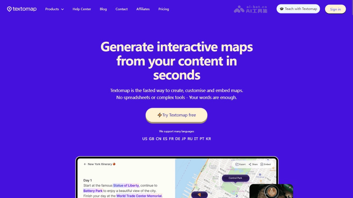
textomap is an innovative intelligent online tool that can quickly convert text content into interactive maps. Users input location-based text, such as travel itineraries, blog posts, or news reports, and textomap can automatically identify locations and generate a map. The tool supports multiple languages, including Chinese. textomap provides editing features and supports users in customizing the descriptions, colors, and labels of locations on the map. textomap provides an AI assistant to help generate maps and supports embedding maps into websites or blogs. textomap is especially suitable for users who visualize geographic information, such as educators, travel bloggers, and journalists.
Main features of textomap
- Quick map generation: Quickly convert any location-based text content into an interactive map.
- Multilingual support: Supports multiple languages, including Chinese, and automatically identifies the text language.
- Editing and customization: Supports users in editing location information on the map, including descriptions, colors, and labels.
- Link media content: Link photos and web pages to specific locations on the map.
- AI assistant: A built-in AI assistant helps generate maps, providing a smarter map creation experience.
textomap product official website
- Product official website:textomap.com
textomap product pricing
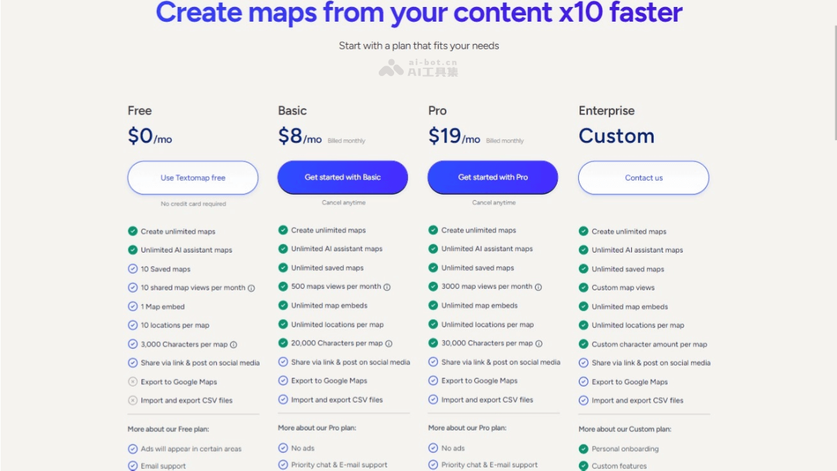
- Free plan: Save 10 maps, 10 shared map views per month, 1 map embed, and 10 locations per map.
- Basic plan: $8/month. Unlimited saved maps, 500 map views per month, unlimited map embeds, and unlimited locations per map. Enjoy all features of the Free plan
- Pro plan: $19/month. Unlimited saved maps, 3,000 map views per month, and enjoy all features of the Basic plan.
- Enterprise custom plan: Custom pricing. Custom number of map views. Enjoy all features of the Pro plan.
textomap use cases
- Travel planning: Travel bloggers or travel agencies create itinerary maps to display travel routes and attraction locations.
- Educational materials: Teachers visualize location information from geography textbooks to improve students' learning interest and effectiveness.
- News reporting: Journalists embed interactive maps in reports to help readers better understand the geographic background of news events.
- Blog posts: Bloggers embed maps in articles to provide readers with more intuitive location information.
- E-books: Authors embed interactive maps in e-books to enhance readers' reading experience.